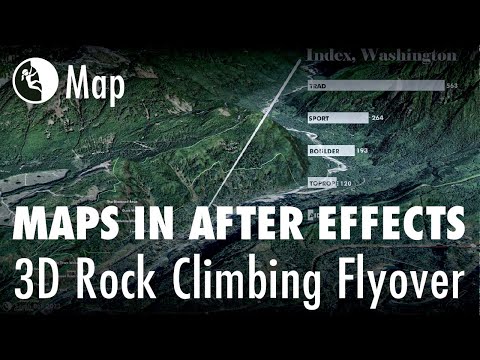
Building maps often requires multiple software applications. In fact, I cannot recall a map that I’ve made in the last decade that did not include using at least two different applications. For this map, I created a flyover animation in ArcGIS Pro. I then imported the animation (mp4) into Adobe After Effects, where I added audio (narration and music), data visualization, and additional labels. The animated map’s area of focus is Index, Washington — particularly the Index Town Walls rock climbing area — a crag that is often referred to as America’s best.
With this map, I did not set out to deny nor support this claim, but my earlier days of rock climbing included a lot of visits to Index. It truly is a gem! My map, however, was created for the purpose of exercising flyover animation + Adobe After Effects and highlight the Washington Climbers Coalition’s new purchase of the Lower Lump, an area at Index that was previously privately owned.
Washington Climbers Coalition received a loan from Access Fund for this purchase, which secured the Lower Lump and all of its classic climbs for us, as well as future climbers.
Part of the success of this map was convincing my partner to do the voiceover narration. Here is the map. Enjoy, and happy climbing and mapping!