My Favorite Map Animation Workflow & Essential Resources
Discover 7 key tips for diving into After Effects as a mapmaker
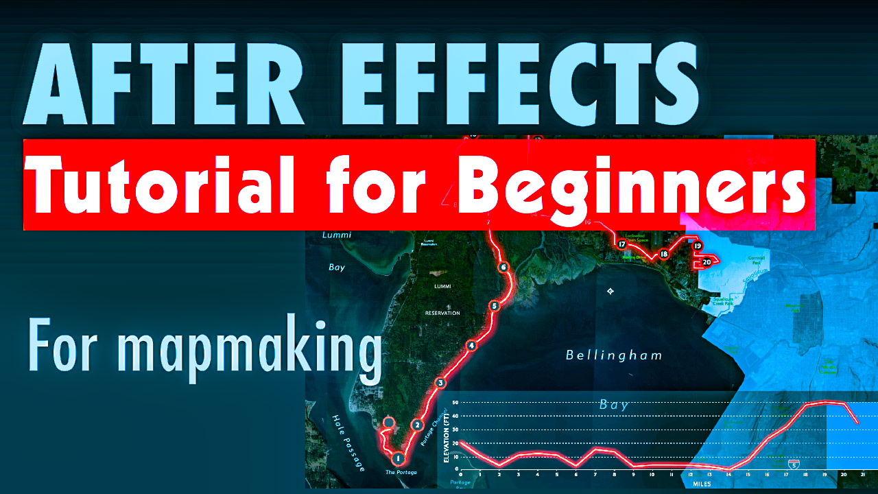
Discover 7 key tips for diving into After Effects as a mapmaker
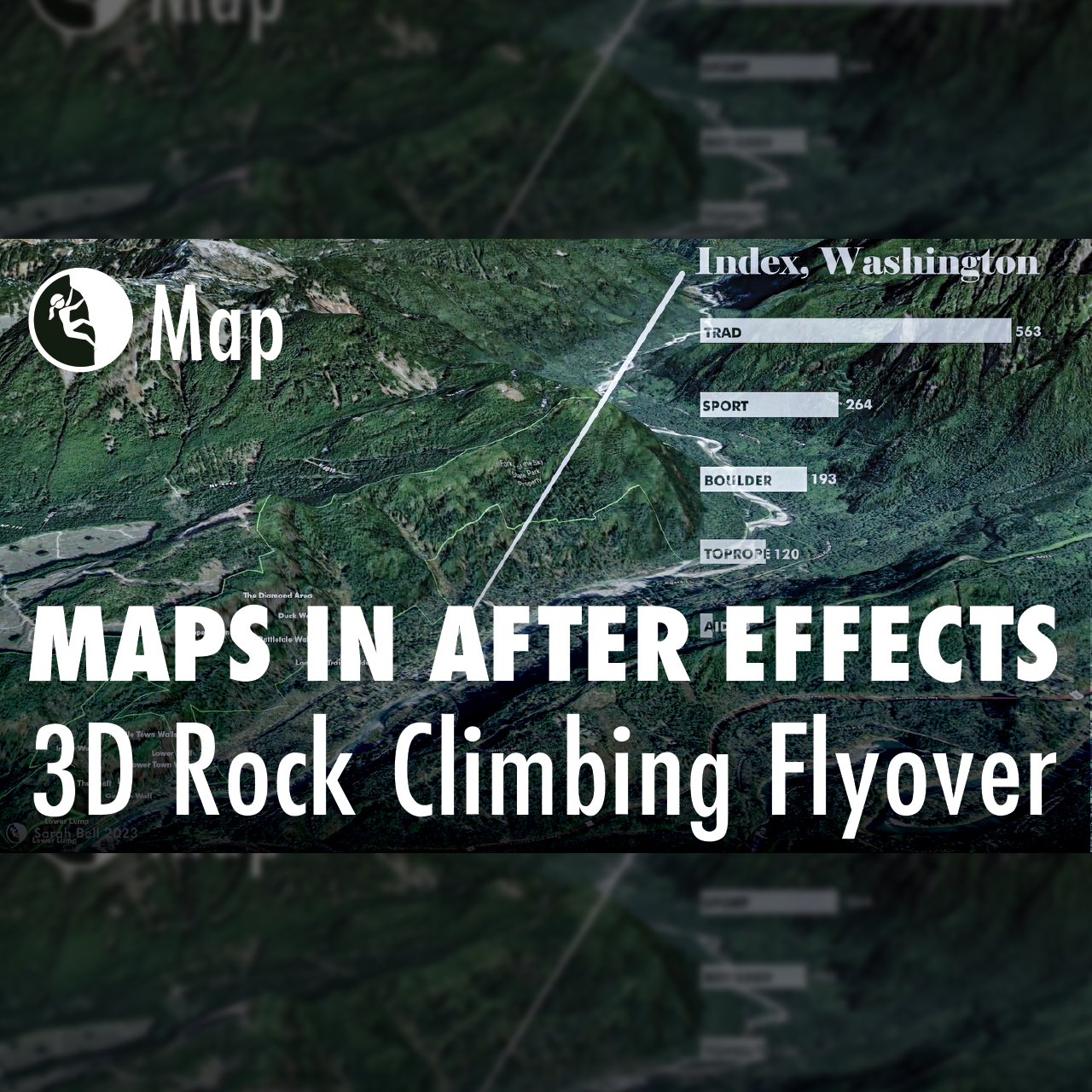
Building maps often requires multiple software applications. In fact, I cannot recall a map that I’ve made in the last decade that did not include using at least two different applications. For this map, I created a flyover animation in ArcGIS Pro. I then imported the animation (mp4) into Adobe After Effects, where I added…
By the time I publish this, I will have just finished presenting at the 40th annual North American Cartographic Information Society (NACIS) conference. NACIS is a large community of map enthusiasts who meet once a year to share and learn about cartography projects. This year’s conference is being held virtually due to the current pandemic crisis.…